
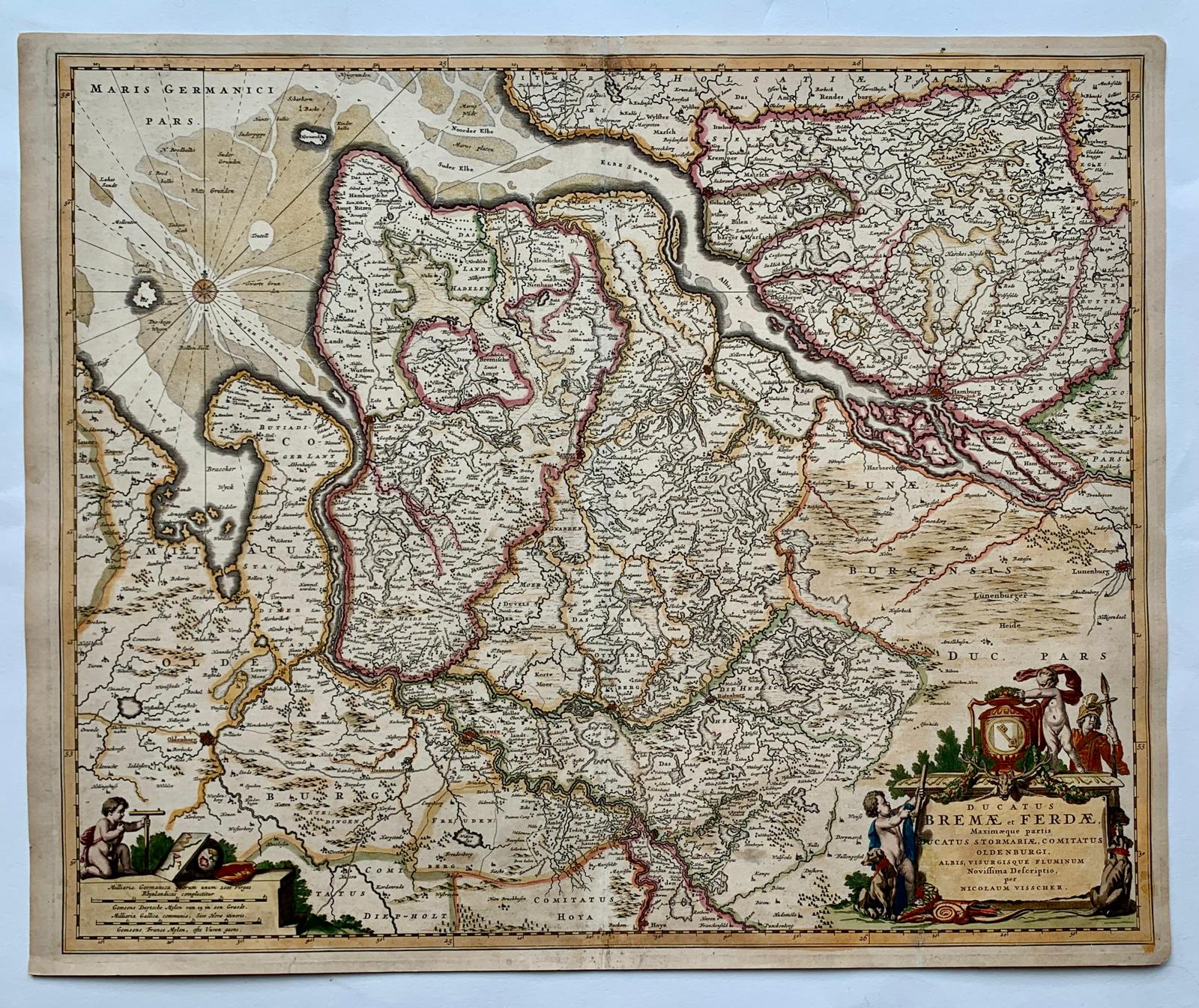
Ducatus Bremae et Ferdae — Bremen, Verden and Oldenburg
€225
- Cartographer
- Nicolaes Visscher
- Date
- ca. 1670
- Subject
- Northern Germany
- Dimensions
- 46 × 56 cm engraving / 48.3 × 59 cm sheet
- Condition
- Good condition. Two small tears and the middle fold have old restoration. Backed with old paper.
About this piece
A copper-engraved map of the duchies of Bremen and Verden by Nicolaes Visscher, dated circa 1670. It follows the lower courses of the Elbe and Weser in northern Germany, with Oldenburg and part of Stormarn also in view. The two rivers offer a natural way into the map, drawing the eye from inland settlements towards the North Sea.
The coloured boundary lines make the political divisions easier to follow. These borders are part of what makes the sheet interesting. The same waterways run through several jurisdictions, and the engraving allows the viewer to see the geography of river traffic alongside the geography of the duchies. A decorative cartouche gives the title a prominent place in the composition.
The engraving measures 46 × 56 cm on a 48.3 × 59 cm sheet. The paper has two small tears, an old repair at the middle fold and old paper backing.
Condition: Good condition. Two small tears and the middle fold have old restoration. Backed with old paper.