
World Map — Die erst General Tafel — Sebastian Münster, 1588 (First Edition)
Coming 11/11
- Cartographer
- Sebastian Münster
- Date
- 1588
- Publication
- Cosmographia · Basel, Sebastian Petri (Henricpetri)
- Edition
- First edition of this woodcut (Basel, 1588)
- Subject
- World
- Medium
- Hand-coloured woodcut
- Woodcut dimensions (cm)
- 31 × 36 (H × W)
- Paper dimensions (cm)
- 35.5 × 43 (H × W)
- Condition
- Very good. Four small wormholes with old restoration. Middle fold as issued, with some discolouration and light creasing.
- Reference
- Rodney W. Shirley, The Mapping of the World, no. 163
- State
- First state (Shirley 163).
About this piece
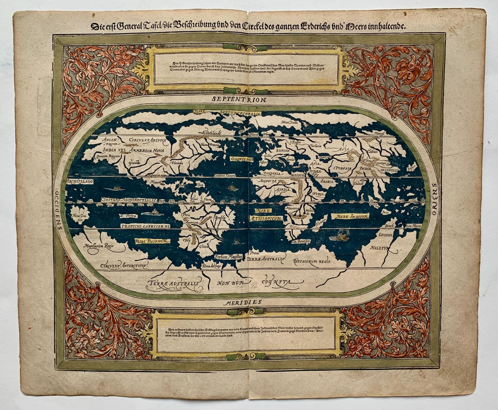
Die erst General Tafel, die Beschreibung und den Circkel des gantzen Erdtrichs und Meers innhaltende
First edition of the newly cut world map that Basel publisher Sebastian Petri introduced in the 1588 German edition of Sebastian Münster’s Cosmographia, based on Abraham Ortelius’s Typus Orbis Terrarum of 1570. The oval is surrounded by scrolling foliage and two panels of German text. The woodcut gives the geography of Ortelius’s Antwerp atlas a distinctive new setting in one of the most widely read geographical books of the period.
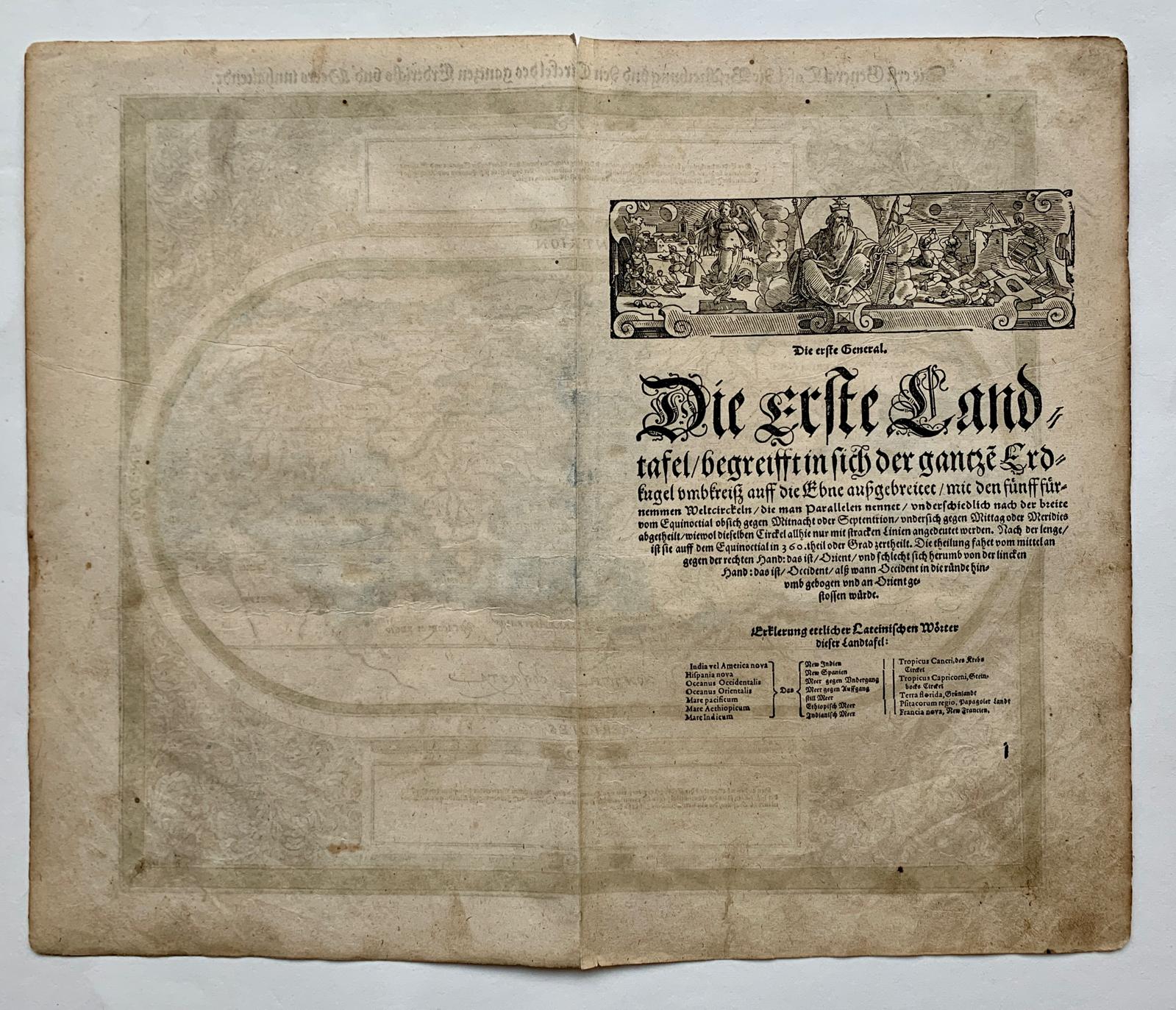
Sailing ships cross the deep blue oceans inside a border washed in russet and green. Anian and Quivira appear in northwestern America. At the far south, the Strait of Magellan lies between South America and the great conjectural land marked Terra Australis non dum cognita, the southern land still unknown. On the reverse are a woodcut vignette, an explanation in German and a glossary of Latin geographical terms.
A crisp impression attributed to the first state. The attribution rests on the spelling begreifft in the German heading on the reverse and the small mark at lower right, read as the signature i.
The paper is in very good condition, with the middle fold as issued, some discolouration and light creasing. Four small wormholes have old repairs.
State: First state (Shirley 163).