
America sive India Nova — Michael Mercator, 1628
€2,750
- Cartographer
- Michael Mercator
- Date
- 1628
- Publication
- Amsterdam, Henricus Hondius · Mercator–Hondius atlas
- Subject
- Western Hemisphere · North and South America
- Medium
- Copper engraving with original hand colour
- Engraving dimensions (cm)
- 36.5 × 45.5 (H × W)
- Paper dimensions (cm)
- 48 × 57.5 (H × W)
- Condition
- Mint condition.
- Verso
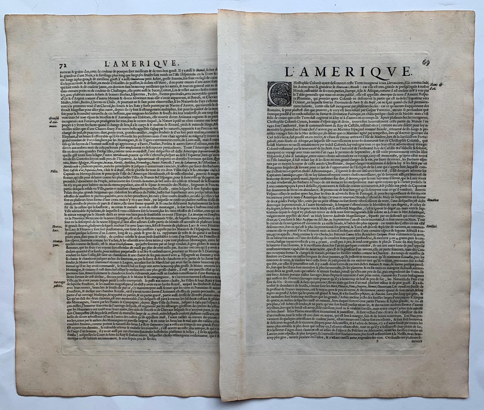
- French text headed L’Ameriqve, pp. 69 and 72, signature S.
- References
- Burden 87 · Van der Krogt 9000:1A
- Availability
- In stock. Subject to availability.
About this piece
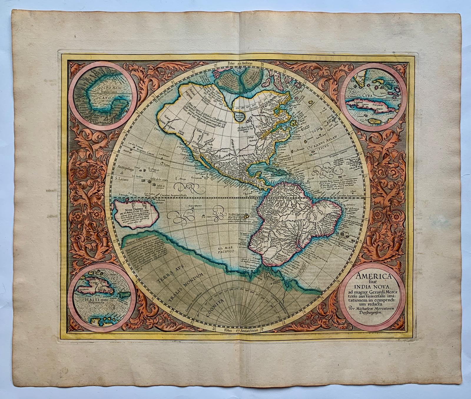
America sive India Nova, ad magnae Gerardi Mercatoris avi Universalis imitationem, in compendium redacta
A finely engraved map of the Western Hemisphere in original hand colour. It is the only known printed map engraved by Michael Mercator, grandson of Gerard Mercator. Drawing on his uncle Rumold’s world map of 1587, Michael prepared the plate for the final part of his grandfather’s atlas, first published in Duisburg in 1595. This impression was published by Henricus Hondius in Amsterdam in 1628.
North and South America fill a single circular hemisphere, framed by intricate foliate scrollwork in warm terracotta. Three corner medallions show the Gulf of Mexico, Cuba and Hispaniola, while the fourth holds the title. Blue-green washes trace the coastlines, and touches of rose and yellow bring out the fine engraving.
At the northwest edge of the continent, the Strait of Anian marks a supposed passage between the Atlantic and Pacific. Baja California is already shown as a peninsula. Across the bottom of the map, a vast conjectural southern continent is labelled Terra Australis nondum cognita. The plate captures a moment when reports from voyages were reshaping European maps and older geographical ideas still held their place.
Condition: Mint condition.