
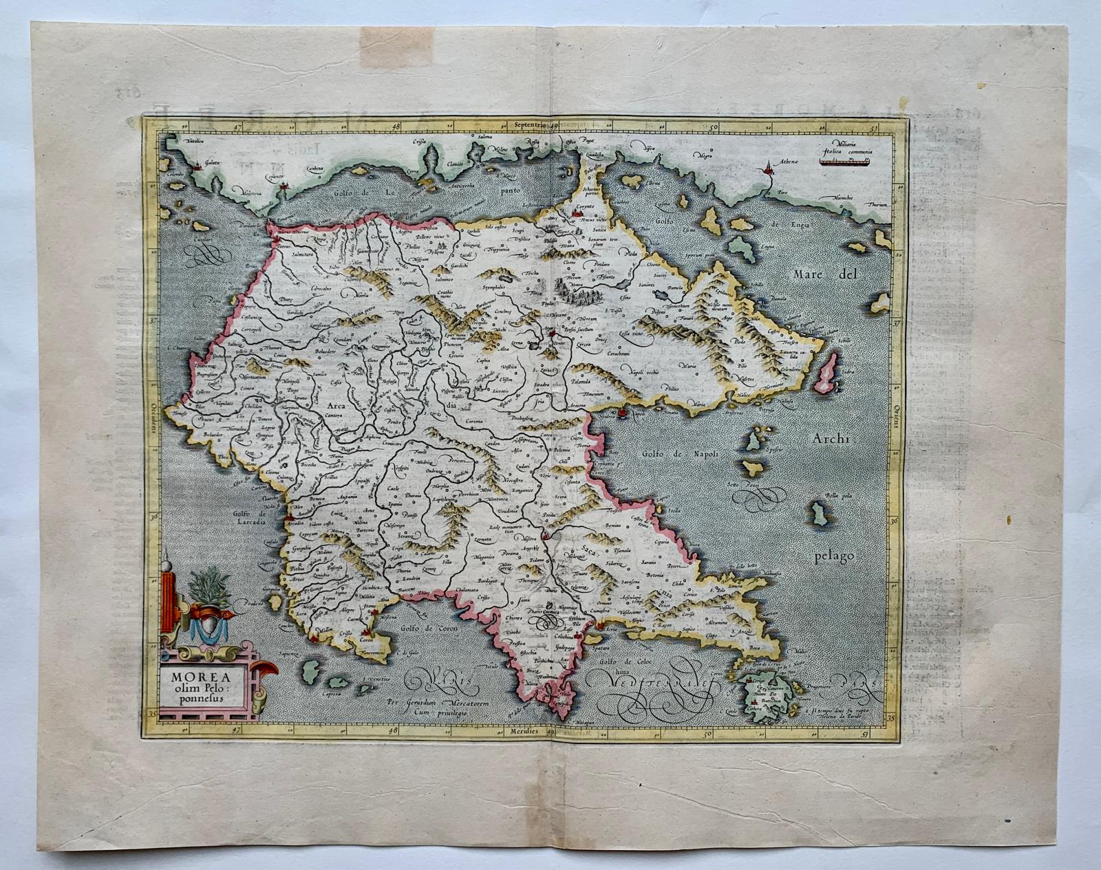
Morea olim Peloponnesus
€300
- Cartographer
- Gerard Mercator / Henricus Hondius
- Date
- 1633
- Subject
- Peloponnese, Greece
- Dimensions
- 33.5 × 41 cm engraving / 44.4 × 55 cm sheet
- Condition
- Good condition.
- Colouring
- Original hand colour.
About this piece
Morea olim Peloponnesus is an engraved map of the Peloponnese issued by Henricus Hondius in Amsterdam for the 1633 French edition of the Mercator–Hondius atlas. The title brings together Morea, the name used in medieval and early modern accounts, and Peloponnesus, the name familiar from classical geography.
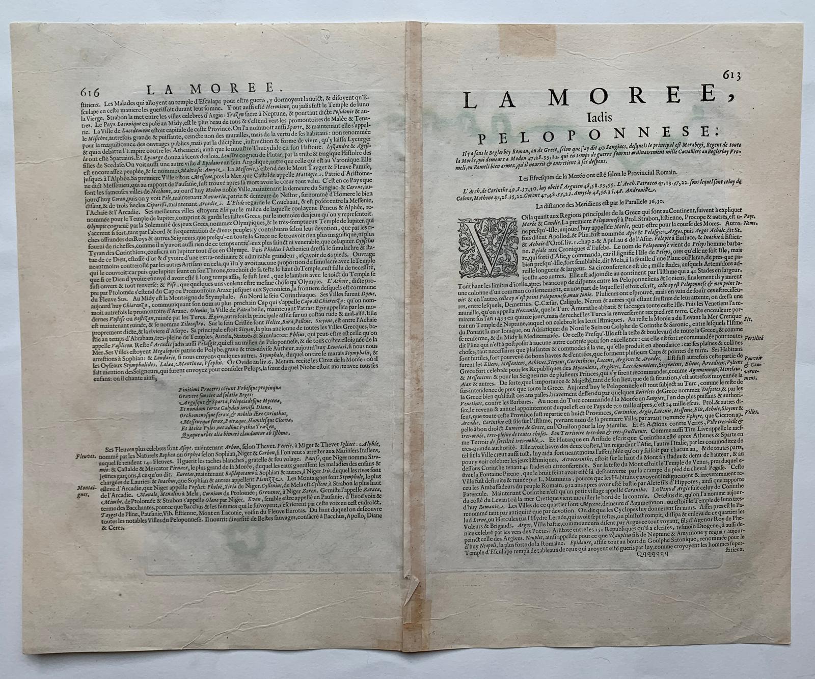
The peninsula’s irregular outline gives the engraving much of its character. Its gulfs and projecting headlands invite the eye to move around the coast before returning inland. Coloured lines pick out the peninsula’s divisions. The French letterpress on the reverse belongs to the atlas edition and gives a second way of reading the sheet, alongside the names and boundaries on the engraved side.
The copper engraving measures 33.5 × 41 cm on a sheet of 44.4 × 55 cm. The middle fold has reinforcement, and creasing is visible on the reverse.
Condition: Good condition. Colouring: Original hand colour.