World Map — Secunda Etas Mundi — Hartmann Schedel, 1493
€14,000
- Cartographer
- Hartmann Schedel
- Date
- 1493
- Publication
- Liber Chronicarum (Nuremberg Chronicle) · Nuremberg, Anton Koberger
- Edition
- First Latin edition
- Folio
- XII verso–XIII recto
- Subject
- World
- Medium
- Woodcut with original hand colouring
- Availability
- Available by enquiry
- Condition
- Very good condition, with small repairs to the stitch holes.
- Dimensions
- 44.5 × 61 cm
About this piece
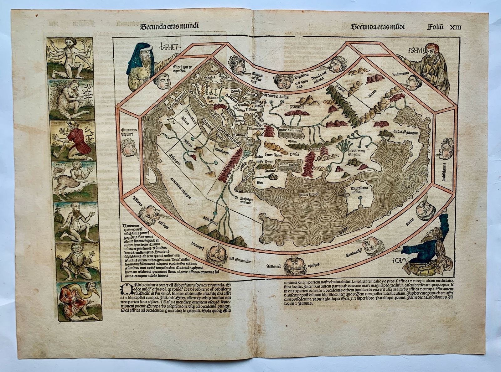
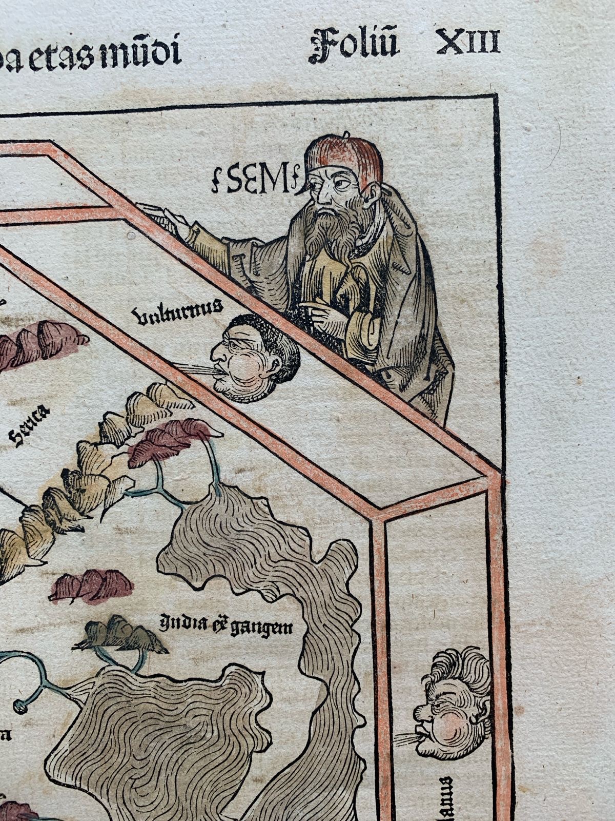
Printed at Nuremberg by Anton Koberger in 1493, Secunda Etas Mundi is the double-page world map from the first Latin edition of Hartmann Schedel’s Liber Chronicarum, better known as the Nuremberg Chronicle. Published the year after Columbus’s first voyage to the Americas, the woodcut still sets out the inhabited world according to Ptolemaic geography. Europe, Asia and Africa gather around the Mediterranean, while Africa and Asia enclose the Indian Ocean.
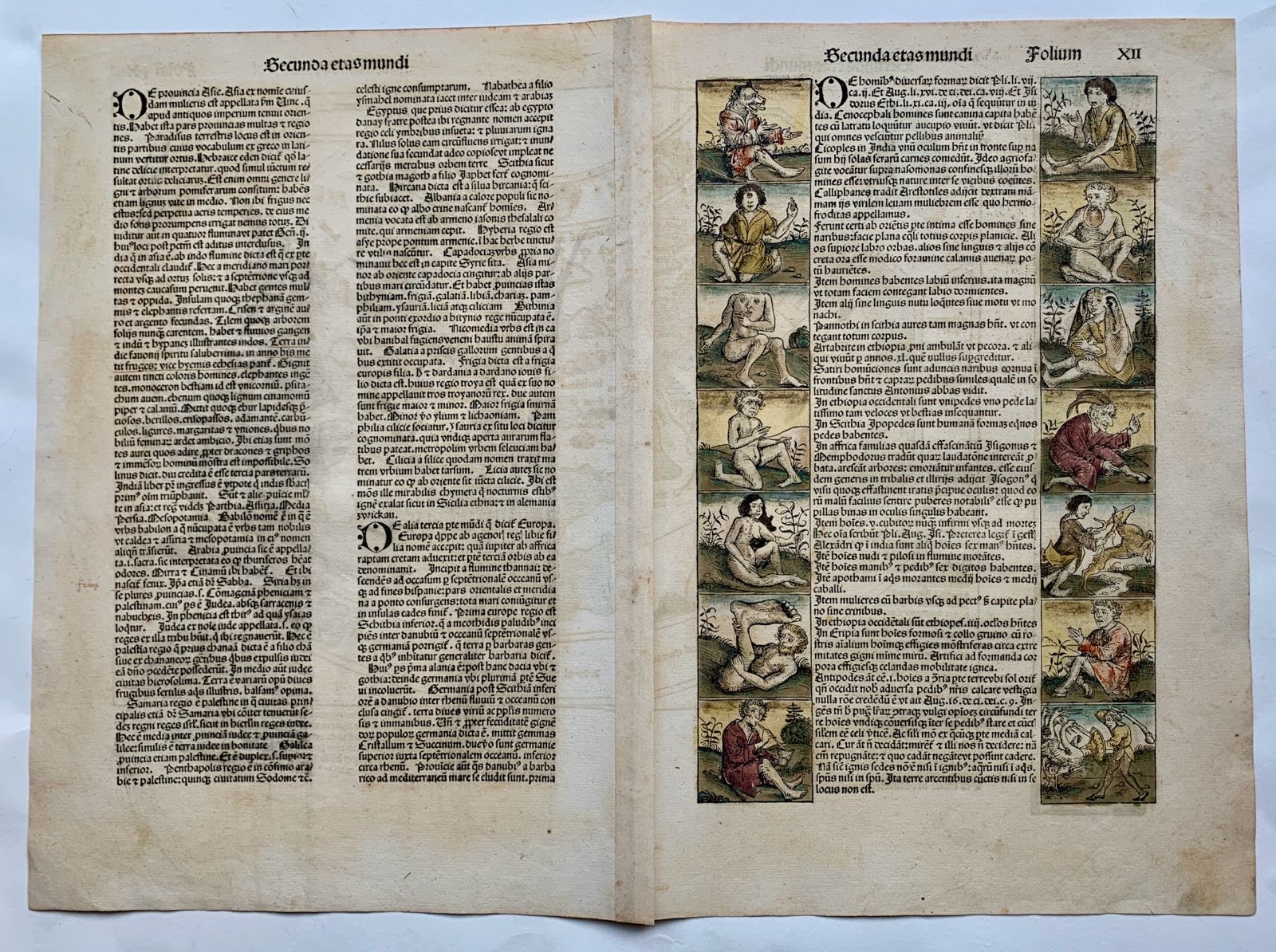
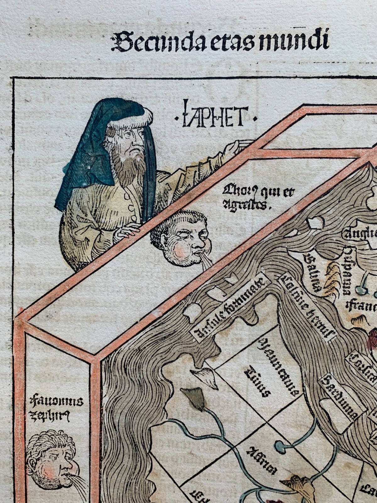
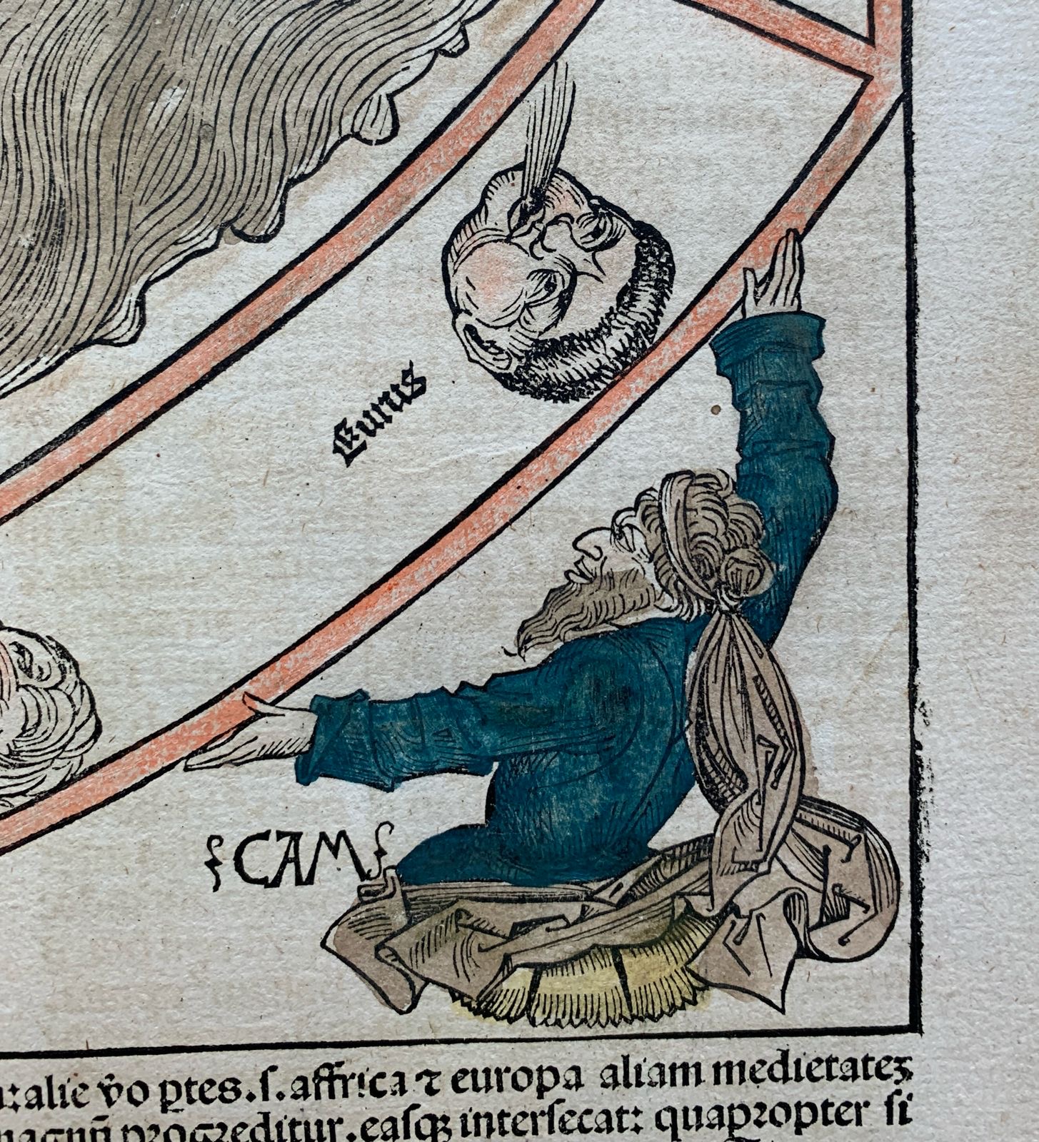
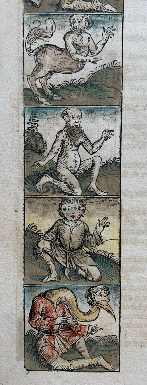
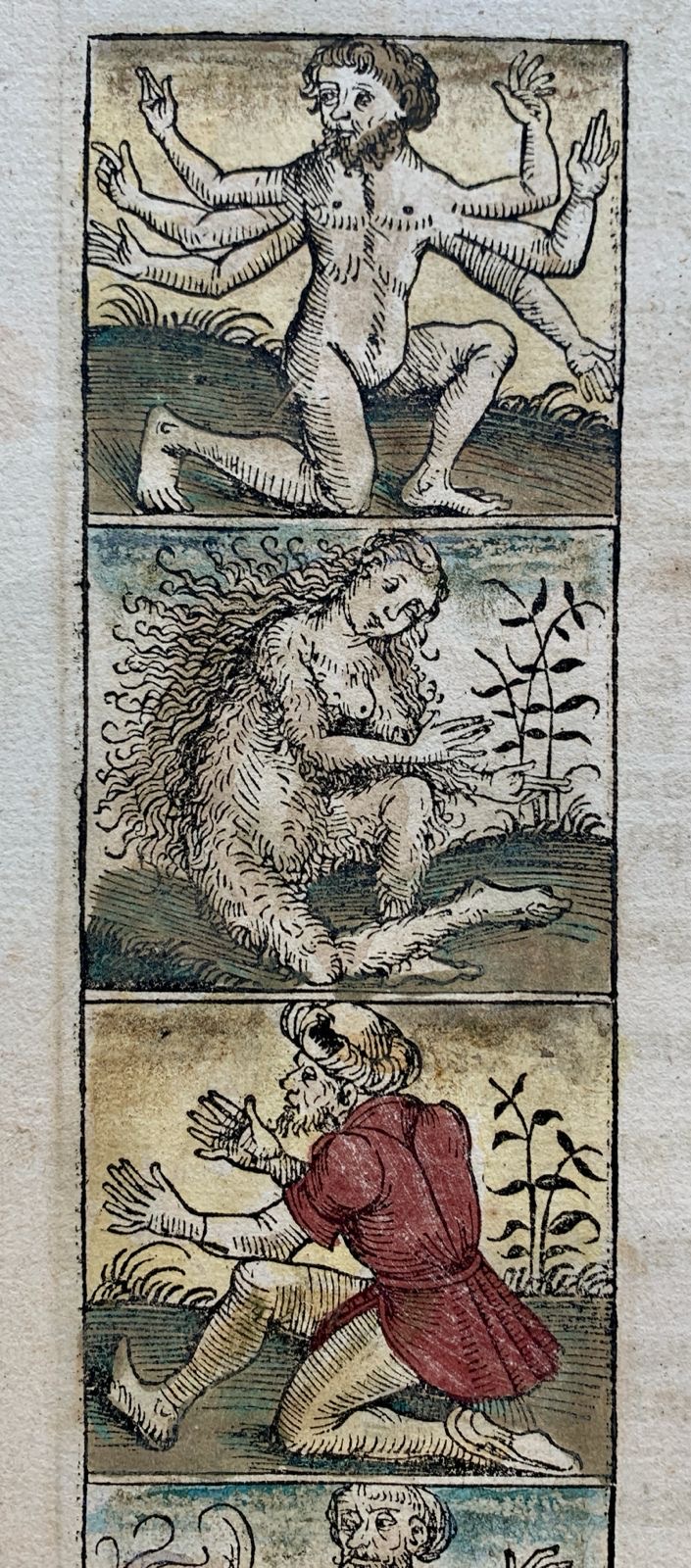
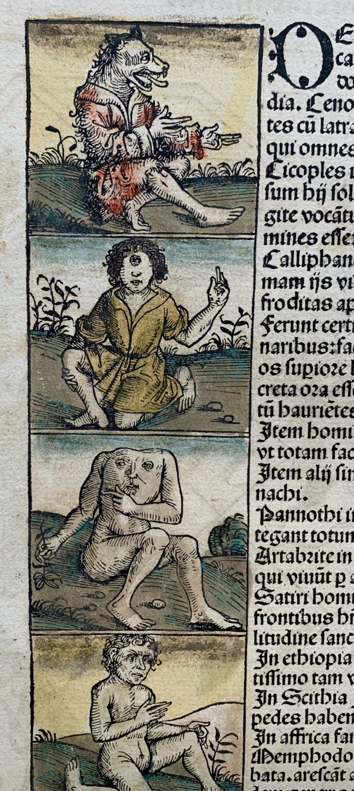
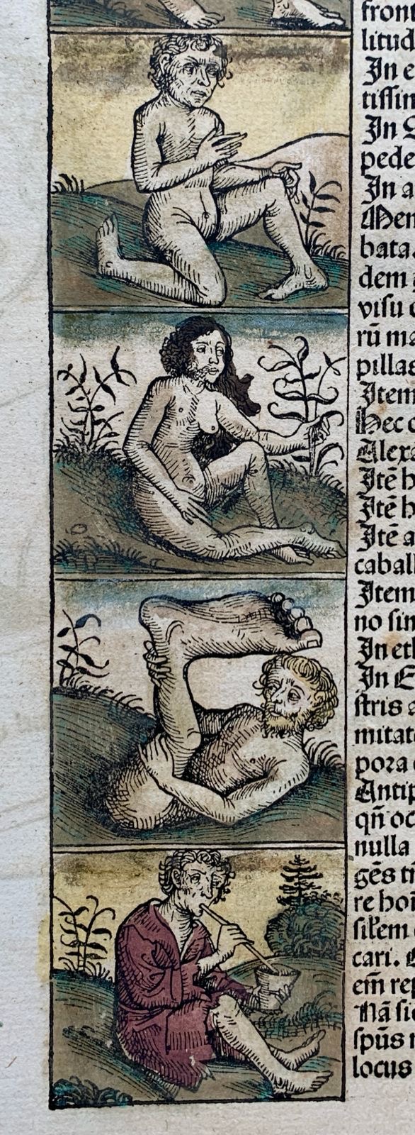
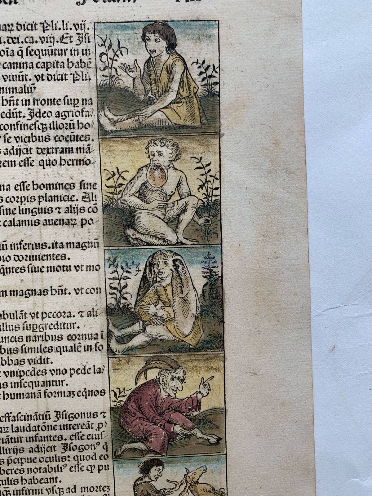
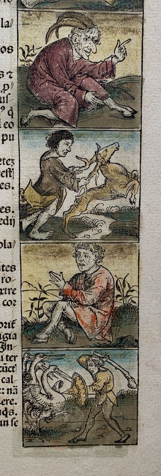
Twelve wind heads surround the map. At the corners are Japheth, Shem and Ham, the sons of Noah, who connect the geography to the Chronicle’s account of how the world was peopled after the Flood. A column of extraordinary figures at the left gives a glimpse of what medieval readers imagined might lie beyond the familiar world. Further hand-coloured figures appear alongside the Latin letterpress on the reverse.
This impression retains its original hand colouring. Deep blue picks out the garments of Japheth and Ham, while a warm red line runs around the map. The close-ups show the fine black lines of the woodcut, from the waves on the enclosed seas to the contours of mountains and rivers.
The middle fold is visible across the two-page spread. The photographs show the complete sheet on both sides, with close-ups of the colouring, the printed folio number and the illustrated margins.
Condition: Very good condition, with small repairs to the stitch holes. Dimensions: 44.5 × 61 cm